Counting on the “Little Serengeti”
-
- by Sanju September 18, 2012

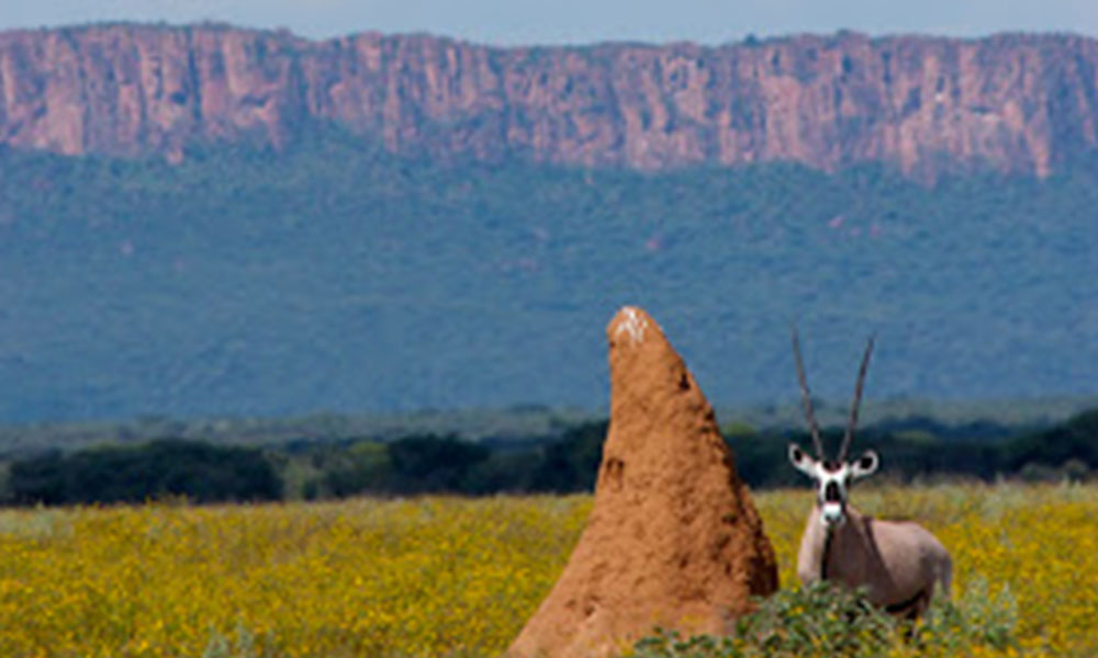
The Cheetah Conservation Fund owns a vast area of land of about 46,000 ha, which is a part of the Waterberg Conservancy in north-central Namibia. This area consists of a number of farms and a very important segment of land (1,492 ha) that is the largest open, uncultivated area in the north central farmlands and is home to many free-ranging game species such as Oryx, Eland, Red Hartebeest, Springbok, Steenbok, Duiker and more. This area is known as “Little Serengeti” for its visual similarity to the open savannahs of the Serengeti National Park. It is a breathtaking splendor that has the Waterberg Plateau splashing pink, purple and red hues in the background.
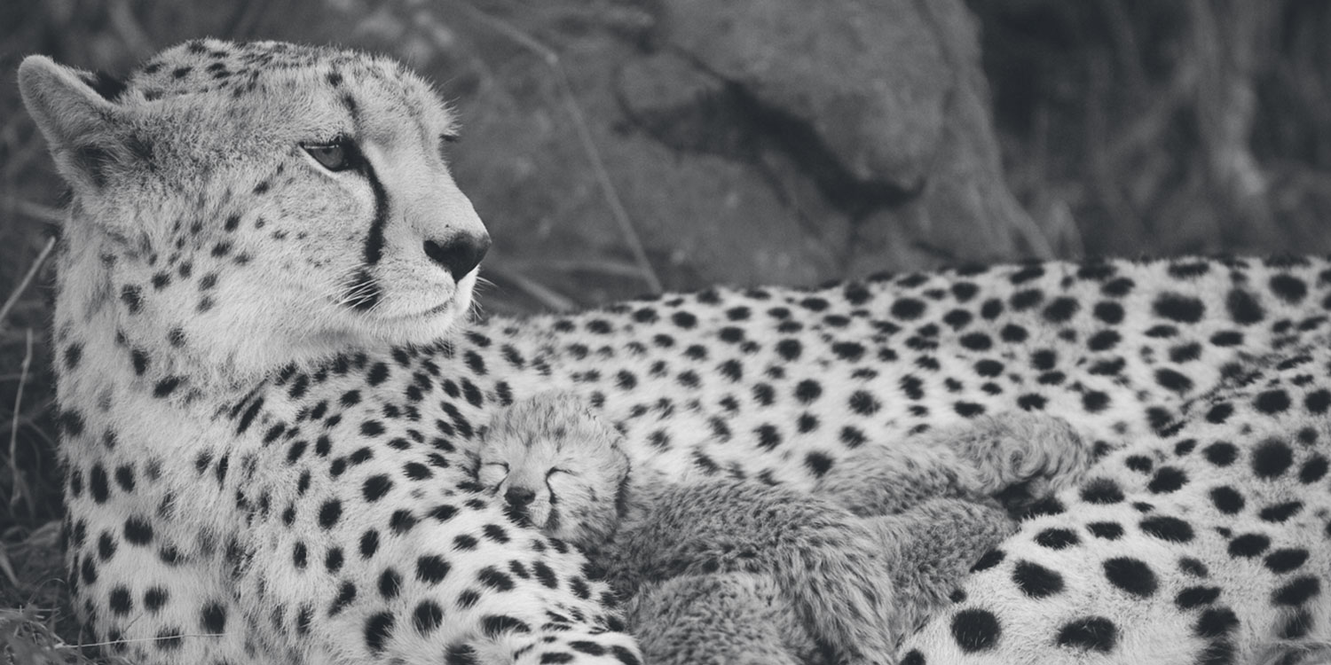
The “Little Serengeti” has a huge potential for eco-tourism and therefore, in order to monitor the ecological succession trends and to keep track of the game populations in the area, CCF has been conducting monthly game counts on various animal species since 2004. The monthly game counts provide population and density estimates of various game species as well as estimates on group sizes and population demographics, all of which are vital to a long-term monitoring program. The high prey density provides a support system to various carnivores on CCF’s land, such as Cheetah, Leopard, and Brown Hyena, which helps maintain overall ecosystem health.
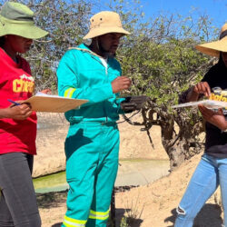
While conducting the game counts, information on the kind of species, their numbers, age class and gender are recorded while driving on three different transect routes, known as Chewbaaka, Mid-Field and Osonanga roads of distances 6.34, 5.38 and 4.76 kilometers, respectively. Once the species are identified, their perpendicular distance from the transect road is measured using BMO Range Finders and the distance travelled by the observers is also recorded. All the collected data is then analyzed for calculating the abundance of the species in the area using a software program called DISTANCE. This practice, when conducted repeatedly over months and years in a given area, gives population trends of the species over time and helps prioritize the management initiatives for effective conservation and decision making.
Related Reading
-
December 3, 2023
Paws, Prints and DNA: Chronicles of a Genetics Intern -
June 15, 2023
Internship in the Ecology Department -
June 10, 2023
An Internship with Naughty Goats and Chocolates